ARTICLE AD BOX
Temperatures are set to climb across the UK in the coming days, with parts of the country on track to bask in some early summer warmth as a mini heatwave arrives.
Warmer weather is predicted to arrive across the UK with more sunshine and a shift in the wind direction, the Met Office said.
The forecaster said temperatures in south-eastern and central England could reach 23 to 24C on Tuesday, falling short of an official heatwave, but marking a “very warm spell” with some areas expected to see up to 10C above the seasonal average.
Friday to Sunday
Saturday's temperatures will be between 13 and 17C, and there may be some rain in the western regions. The UK's eastern regions should remain dry, although there will be a lot of clouds, according to the forecaster.
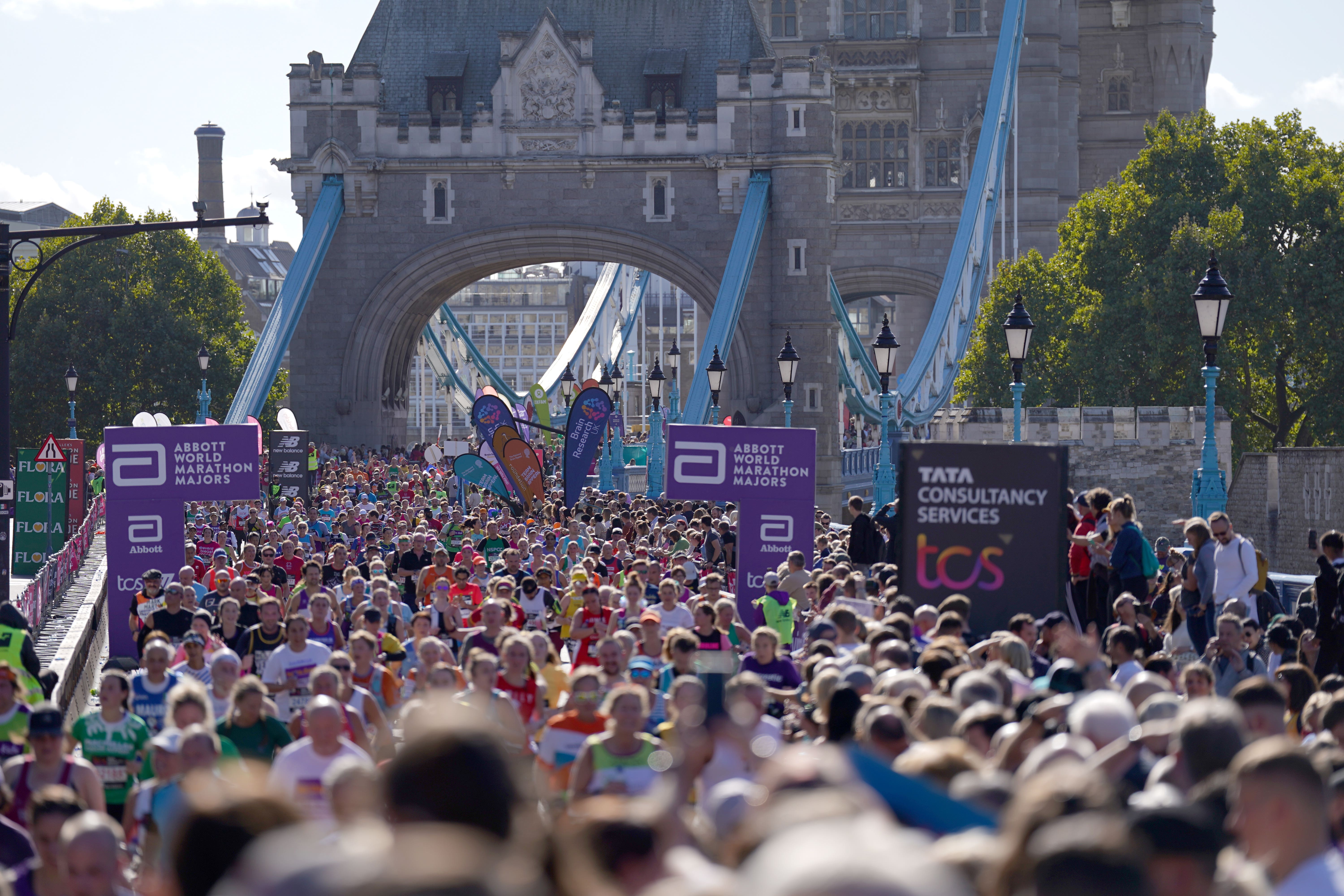
The 56,000 people taking part in the London Marathon will see highs of 22C in the capital on Sunday, with a current “settled” spell of weather meaning up to 24C could also be possible in the South East by Monday.
For those participating in the Manchester Marathon on Sunday, there will be spells of sunshine. Temperatures will peak at 17C in the afternoon, and a gentle south-westerly breeze will cool down runners.
Met Office spokesperson Oli Claydon said it looks like both the Manchester and London marathons will stay dry.
Elsewhere across the country, he explained that a band of rain will move into western Scotland and Northern Ireland on Sunday morning, but it is expected to “break up pretty quickly” and turn into scattered showers.
These may bring some rain and clouds to parts of Scotland, Northern Ireland, and the far north of England, though “conditions [will be] better for the South and across England and Wales”.
A heavy band of rain will affect Northern Ireland and some other westernmost areas on Friday before slowly clearing to the east overnight, but no weather warnings have been issued, the forecaster said.
Dry conditions and lighter winds are expected elsewhere across the UK, with low cloud and the chance of the odd shower clearing to give some warm spells of sunshine and highs of 18C in the South East.

Saturday will likely see patchy rain initially moving east across most of Scotland, England and Wales, with brighter conditions further north before sunny spells develop more widely into the afternoon.
Temperatures will stay around average with highs of 18C, but will “start to tick up” as the weekend progresses, particularly on Sunday, Mr Claydon said.
Next week
While northern regions of the UK will continue to see some clouds and scattered showers on Monday, the rest of the country will stay dry and bright with temperatures of up to 24C in the South East.
The Met Office said the UK is most likely to start “widely fine with sunny spells” once early mist and fog clear, particularly in the south. Northern areas, however, are expected to see more clouds, which could take longer to lift.
There is a small chance that very warm, fine weather could spread across the whole country in the following days, but the more likely scenario is that cloud and rain from the North West will move South East, bringing cooler and more changeable conditions by midweek.
“Generally speaking over the outlook, (it is) relatively settled with incursions of clouded rain at times, but some good sunny spells with temperatures increasing as we go into the start of next week,” the forecaster added.


 English (US) ·